AI TOOL PROFILE
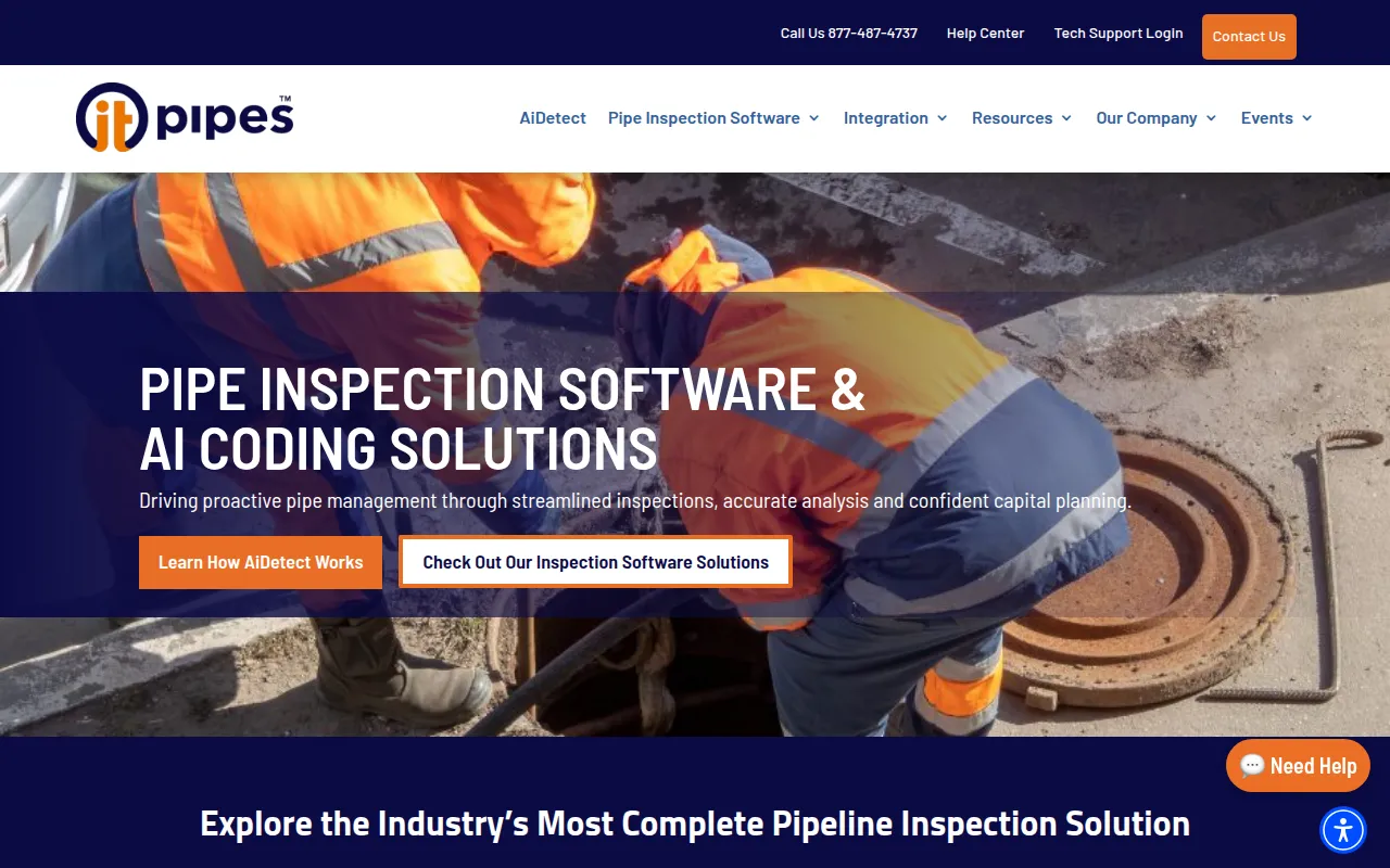
ITpipes: Pipe Inspection Management Software

- Construction
- Field Service Management
- Municipal public works departments
- Utility companies
- Pipeline inspection contractors
- Engineering consultants
Pricing
Pricing was not clearly available from the provided evidence. Buyers should confirm current pricing on the vendor website.
At a glance
- Best for
- Municipal public works departments, Utility companies, Pipeline inspection contractors, Engineering consultants
- Key use cases
- Field Pipeline Inspections, Automated Defect Coding, Capital Improvement Planning, Regulatory Compliance
- Integrations
- Esri ArcGIS Online, ArcMap, ArcGIS Pro, Trimble Cityworks, OpenGov
- Official website
- Visit ITpipes official website
How AI is used
ITpipes is a pipeline inspection management platform designed to coordinate data collection in the field with analysis in the office. It includes tools for CCTV inspection and uses AI to help automate the detection of pipeline defects.
The software is intended for public works departments, engineering firms, utilities, and contractors who manage underground assets such as sewer lines, storm lines, and manholes. It supports workflows from initial field inspection to capital planning.
Key components include FieldVision for offline data collection, CoreVision for browser-based access to reports and maps, and AiDetect for automated coding. The platform is hardware-agnostic and supports various CCTV and sensory equipment manufacturers.
Buyers should confirm how the software integrates with their specific asset management systems and verify that the NASSCO-compliant templates meet their local regulatory requirements.
Key Features
AiDetect
AI-powered automation designed to detect defects and support the coding process.
FieldVision
Mobile tool that supports crews in completing inspections and collecting data without active internet connectivity.
CoreVision
A web-based interface for accessing inspection data, maps, and reports without requiring a local software installation.
NASSCO-Compliant Reporting
Provides templates for PACP, LACP, and MACP coding to meet national standards.
Esri GIS Integration
Supports mapping and spatial analysis via integration with ArcGIS Online and ArcGIS Pro.
Hardware Agnostic Support
Compatible with various CCTV and sensory hardware from manufacturers such as Ibak, Cues, and Envirosight.
Use Cases
Field Pipeline Inspections
Using FieldVision to capture CCTV footage and record asset data while working in areas without connectivity.
Automated Defect Coding
Applying AiDetect to identify pipeline defects and reduce manual time spent on coding and QA.
Capital Improvement Planning
Using condition-based scoring and GIS mapping to help prioritize infrastructure rehabilitation and replacement.
Regulatory Compliance
Generating reports using NASSCO-compliant templates for wastewater and storm assets.
Integrations
- Esri ArcGIS Online
- ArcMap
- ArcGIS Pro
- Trimble Cityworks
- OpenGov
- Infor IPS
- Tyler Munis
- CentralSquare
FAQ
What hardware does ITpipes work with?
- ITpipes is hardware agnostic and supports various manufacturers, including Ibak, Cues, Envirosight, and Rinnovision.
Does ITpipes support industry standards?
- Yes, it provides templates compliant with NASSCO (PACP, LACP, MACP), SPICAP, and WRc standards.
Can ITpipes be used without internet access in the field?
- Yes, the FieldVision component is designed to allow crews to complete inspections and collect data without connectivity.
How does the AI component help with inspections?
- The AiDetect feature uses AI to automate defect detection, which is designed to reduce the time spent on manual coding and quality assurance.
Source category: Construction
Source subcategory: Field Service Management
More tools in Construction
Other published listings in the Construction category.
More tools in the Field Service Management software type
Related listings that share the same software type for comparison and shortlisting.