AI TOOL PROFILE
Ecobot: Environmental Field Data Collection Software

- Data and Analytics
- Data Management
- Environmental Consulting Firms
- Ecologists
- Conservation Organizations
- AEC Firms
- Government DOTs
Pricing
Pricing starts at $19 per seat/month for the Essential plan, with a Professional plan at $125 per seat/month billed annually. A free version is available for small teams, and custom pricing is provided for Enterprise needs.
At a glance
- Best for
- Environmental Consulting Firms, Ecologists, Conservation Organizations, AEC Firms, Government DOTs
- Key use cases
- USACE Wetland Delineations, Stream Assessments, Geospatial Photo Documentation, Environmental Permitting
- Integrations
- Esri ArcGIS Online, Esri ArcGIS Pro, CSV export, GeoJSON export, Shapefile export
- Official website
- Visit ecobot official website
How AI is used
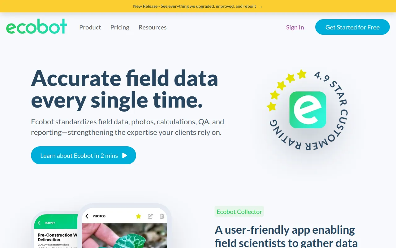
Ecobot is a cloud-based platform designed for environmental assessments and permitting. It consists of two primary components: Ecobot Collector, a mobile app for iOS and Android used for field data collection, and Ecobot Manager, a web-based interface for project management, quality assurance, and report generation.
The software is used by environmental consultants, AEC firms, government departments of transportation, and conservation organizations. It supports the digitization of site data, photos, and calculations, which may reduce manual data entry required after fieldwork.
Functional support includes workflows for USACE wetland delineations and stream assessments. Buyers should confirm which subscription tier they need, as features like Esri integration and unlimited project history are available in specific plans.
Key Features
AI-Powered Plant Identification
Uses AI to help identify vegetation species in the field, providing confidence data to support decision-making.
Automated Suggestions
Provides automated suggestions for hydric soil indicators and vegetation based on location and data.
GIS Export Options
Supports the export of geospatial data, including shapefiles, geodatabase, and GeoJSON for use with Esri ArcGIS.
Offline Functionality
Allows field scientists to collect and save data locally on mobile devices when cellular coverage is unavailable.
Regulatory Report Generation
Supports the creation of regulatory PDFs and geospatial photo logs for permit submittals.
Project Management Dashboard
A web-based manager for office teams to conduct QA/QC, bulk edit data, and manage team permissions.
Use Cases
USACE Wetland Delineations
Capturing wetland data using workflows for all 12 US Army Corps of Engineers regional forms.
Stream Assessments
Conducting Ordinary High Water Mark (OHWM) and Universal Stream Assessments.
Geospatial Photo Documentation
Creating photo logs with point associations, coordinates, and direction for regulatory review.
Environmental Permitting
Supporting data collection and reporting requirements for FDEP 62-340 and other environmental permits.
Integrations
- Esri ArcGIS Online
- Esri ArcGIS Pro
- CSV export
- GeoJSON export
- Shapefile export
- PDF export
FAQ
What devices are compatible with Ecobot?
- Ecobot Collector is compatible with iOS devices (v13.0 and up) and Android devices (OS 10 and up). Ecobot Manager is accessed via any web browser, though Google Chrome is recommended.
Does Ecobot work without internet access?
- Yes, the platform has offline functionality, allowing users to save data locally to the device's embedded database until they can sync with the cloud.
Which plan provides GIS integration?
- Esri integration is available in the Professional and Enterprise plans.
What types of environmental assessments does it support?
- It supports USACE 404 Wetland Delineations, FDEP 62-340 forms, Ordinary High Water Mark (OHWM) assessments, and Universal Stream Assessments.
Source category: Data & Analytics
Source subcategory: Data Management
More tools in Data & Analytics
Other published listings in the Data & Analytics category.


More tools in the Data Management software type
Related listings that share the same software type for comparison and shortlisting.